
Survey, GIS & digital twin
From field capture to 3D visualisation.
Information systems
Organisation, personnel, intranet, web.
ID & card systems
National ID and member cards.
Inspection & licensing
Driving and vehicle inspection centres.
Endpoint security
Cloud anti-virus and ransomware defence.
Smart workplace
Meeting rooms and building control.
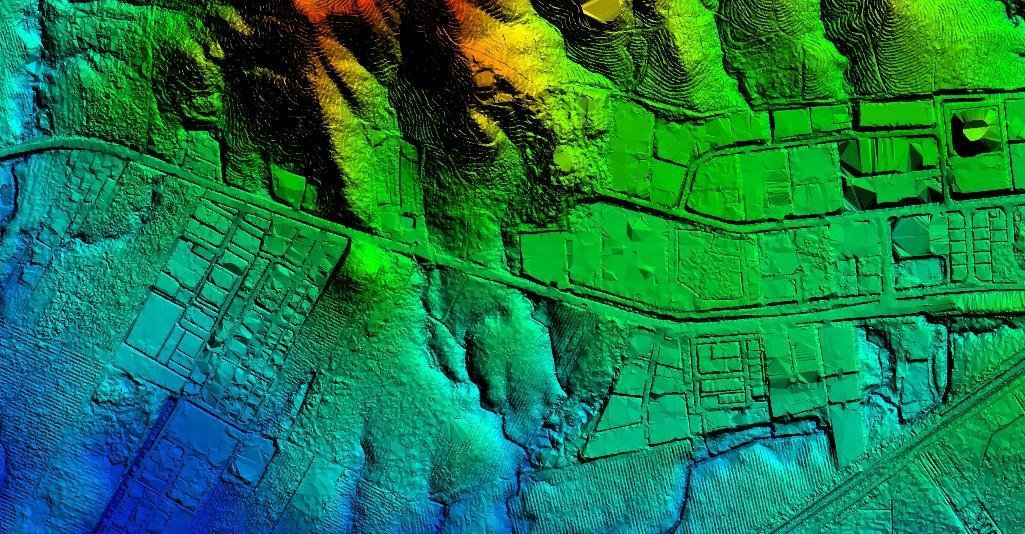 LiDAR DSM · hillshade
From the field to a 3D model
We fly it, process it, store it and put it in the browser.
- Topographic, corridor and bathymetric survey
- Field data platforms for drone and LiDAR capture
- Spatial databases and GIS publishing
- 3D digital twins with scenario switching
Systems built around how the agency actually works
Designed with your teams, not handed over from a template.
- Organisation and unit management
- Personnel systems
- Internal administration (intranet)
- Organisational websites and portals
People's ID and member cards, end to end
Certified HID FARGO printing on PVC, polycarbonate, PET, smart card and magnetic stripe.
| Card printing | Rate |
|---|---|
| Resolution | 600 dpi |
| Colour, front only | 230 / hour |
| Colour front, black reverse | 126 / hour |
Built to the regulator's workflow
Driving visual inspection and vehicle technical inspection centre management.
Talk to usPanda cloud anti-virus
Global threat intelligence updating in real time, so new ransomware is caught in time.
- Cloud-based detection, live threat feed
- Ransomware protection across endpoints
- Central management for the whole organisation
Meeting rooms and buildings that just work
MAXHUB interactive whiteboards for Zoom, Teams and Skype. LifeSmart for smart home and building control.
Book a demonstrationWhich solution fits your organisation?
Tell us the problem — we will tell you what it takes.