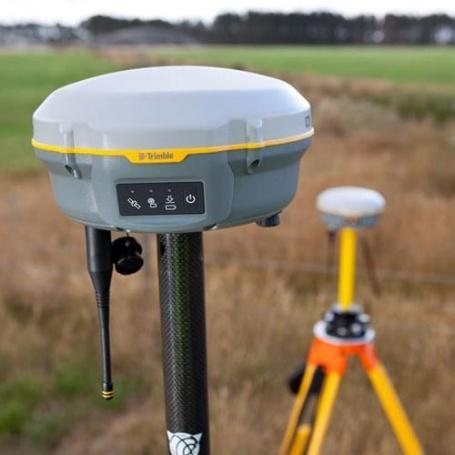
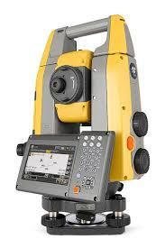
Trimble R8 RTK GNSS
- Horizontal8 mm + 0.5 ppm
- Vertical15 mm + 0.5 ppm
- Initialisation< 8 seconds
- Channels440, Trimble 360
Flown at minimum 60% side-lap for bare-earth extraction under vegetation.
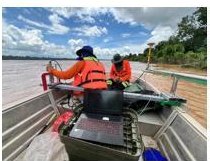 Vessel-mounted single-beam
Multi-frequency single-beam sounding tied to RTK GNSS, so the soundings merge with the airborne LiDAR into one continuous surface.
| Teledyne Odom Echotrac E20 | Value |
|---|---|
| Frequency | 10 – 250 kHz |
| HF channel | 50 – 250 kHz |
| LF channel | 10 – 50 kHz |
| Depth range | 0.5 – 6,000 m |
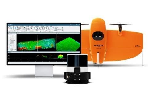
Point cloud processing and classification.
Spatial analysis, cartography, publishing.
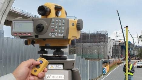
Survey and levelling processing.
Static baselines for control networks.
Give us the corridor, the accuracy and the deadline.