Home / Survey & GIS
Our lead capability

Survey & GIS

Two national-scale geospatial platforms, built end to end.

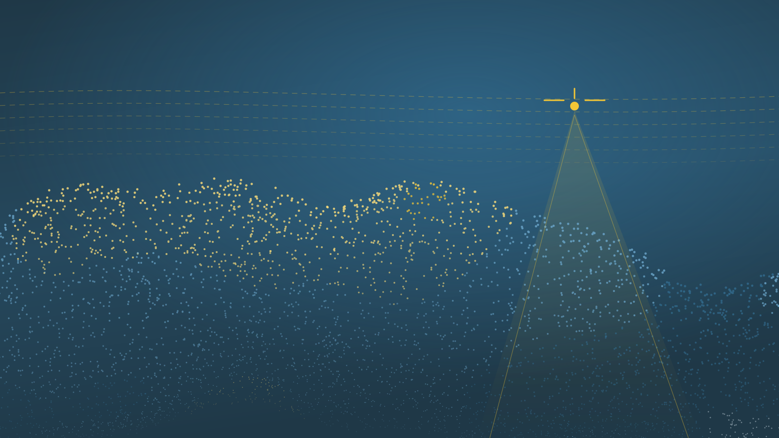
LiDAR point cloud captured along drone flight lines Drone LiDAR swath
01 — Capability

Aerial Survey & LiDAR Data Platform

Tens of gigabytes of imagery and point cloud a day, from the riverbank into managed central storage — over links that drop.

Discuss a programme
> 30 pts/m²Bare-earth point density
0.5 mDTM, hydrologically enforced
0.25 mOrthophoto, for 3D texturing
≤ 10 cmRMSEz on open surfaces

Ingest that survives the field

  • True byte-level resumable upload
  • S3-compatible object storage, multipart transfer
  • Integrity verified on every part and on completion
  • Catalogue, retention and capacity planning
Bathymetry that meets the LiDAR

  • Cross-sections every 1–2 km and at control points
  • Bank, through the thalweg, to the opposite bank
  • ASCII XYZ and CAD profiles
  • River stage correction applied
Ground control

Targets set and observed by our own crews

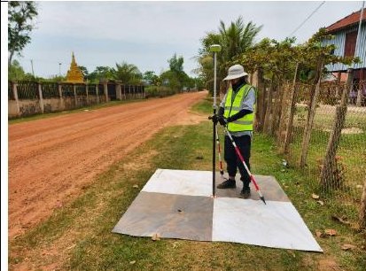
Surveyor recording a ground control point on a checkerboard target
GCP observation
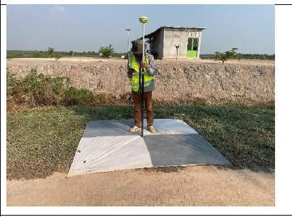
Checkerboard ground control target laid on a track
Target layout
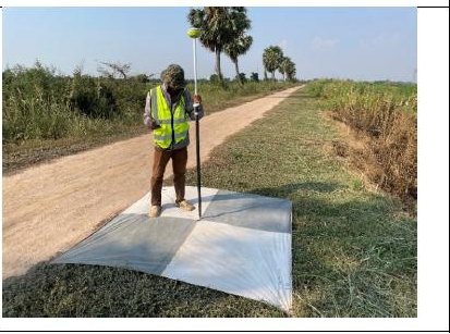
Ground control target photographed from the air
Aerial check
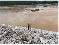
Rocky riverbank surveyed at low water
Bank survey
How we work

Six checks before a single flight line

The same pre-survey sequence on every site — that is what keeps accuracy comparable between them.
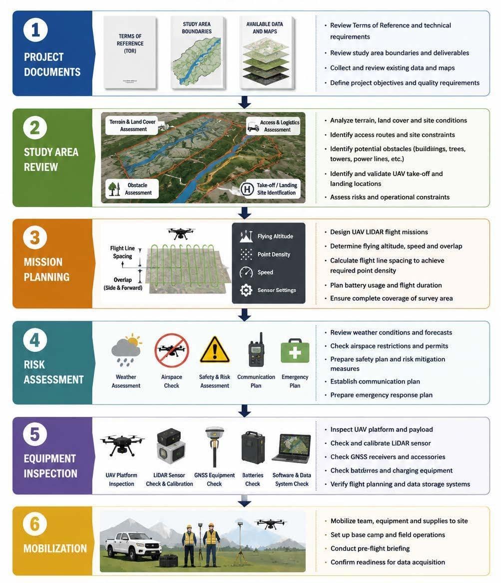

Six-stage pre-survey workflow: project documents, study area review, mission planning, risk assessment, equipment inspection, mobilisation
Isometric 3D digital twin of a city block 3D twin · scenario view
02 — Capability

Digital Twin Platform

Decision makers see the flood extent instead of reading it off a table.
  • 3D terrain, imagery and assets in the browser
  • Flood scenarios switched and compared on demand
  • Built on an enterprise GIS mapping SDK
  • No specialist client software to install
Discuss a twin
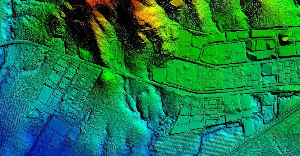
Colourised LiDAR surface model of a river town
Together

One programme feeds the other

The survey platform captures it. The twin is what people actually look at.

  • 01
    CaptureDrone LiDAR, imagery, bathymetry
  • 02
    ProcessClassify, model, mosaic, publish
  • 03
    DecideScenarios compared in the browser

Have a programme like this?

Tell us the area, the accuracy and the deadline.

Get in touch