Home / Equipment
Own fleet

Survey Equipment

We do not sub-contract the survey.

≤5 cmSurvey-grade LiDAR accuracy
8 mmRTK horizontal + 0.5 ppm
±0.2 mmDigital levelling, 1 km double-run
6,000 mEcho sounder depth range
01 — Positioning

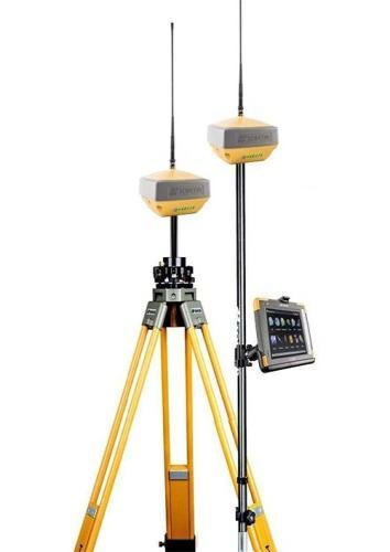
GNSS & RTK

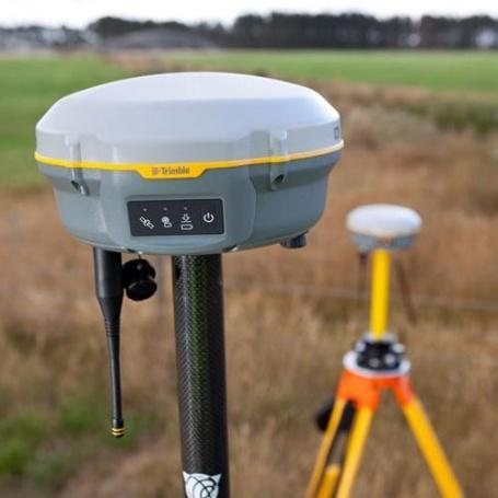
Trimble R8 RTK GNSS receiver

Trimble R8 RTK GNSS

  • Horizontal8 mm + 0.5 ppm
  • Vertical15 mm + 0.5 ppm
  • Initialisation< 8 seconds
  • Channels440, Trimble 360
Topcon HiPer XR GNSS receiver

Topcon HiPer XR

  • Horizontal5 mm + 0.5 ppm
  • Vertical10 mm + 0.8 ppm
  • TiltRTK compensated
  • ModeNetwork RTK
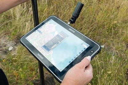
Rugged RTK field data tablet

RTK Field Tablet

  • Display7″ sunlight-readable
  • LinkBluetooth, Wi-Fi, 4G
  • SoftwareMAGNET Field
02 — Airborne

Drone LiDAR & photogrammetry

Flown at minimum 60% side-lap for bare-earth extraction under vegetation.
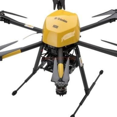
Multirotor drone carrying a LiDAR and photogrammetry payload

Trimble Drone LiDAR

  • AccuracySurvey-grade, ≤ 5 cm
  • PositioningRTK / PPK GNSS
  • OutputDense point cloud + RGB
  • Suited toTopographic, corridor, 3D
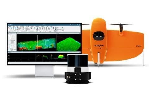
Wingtra VTOL fixed-wing UAV with LiDAR payload

Wingtra VTOL LiDAR

  • EnduranceUp to 55 min
  • CoverageUp to 500 ha per flight
  • AccuracyLiDAR ≤ 5 cm
  • PositioningIntegrated PPK / RTK
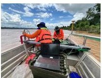
Survey crew running a vessel-mounted echo sounder on the river Vessel-mounted single-beam
03 — Hydrographic

Bathymetric survey

Multi-frequency single-beam sounding tied to RTK GNSS, so the soundings merge with the airborne LiDAR into one continuous surface.

Teledyne Odom Echotrac E20Value
Frequency10 – 250 kHz
HF channel50 – 250 kHz
LF channel10 – 50 kHz
Depth range0.5 – 6,000 m
04 — Ground control

Total stations, levelling & processing

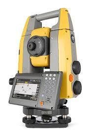
Topcon hybrid robotic total station

Topcon Robotic Total Station

  • TypeRobotic, integrated GNSS
  • Prism4,500 m at 2 mm + 2 ppm
  • Non-prism800 m at 2 mm + 2 ppm
  • Fine measure0.9 s
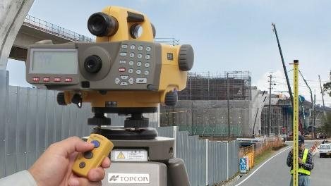
Topcon DL-501 electronic digital level

Topcon DL-501 Digital Level

  • Accuracy±0.2 mm, 1 km double-run
  • Magnification32×
  • Range1.6 – 100 m
  • RecordingInternal, barcode staff
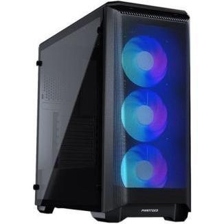
Workstation used for point cloud processing

Processing Workstations

  • ForPoint cloud classification
  • AlsoTerrain models, orthomosaics
  • FieldRugged laptops on site
05 — Software

Processing & analysis stack

Terrasolid

Point cloud processing and classification.

ArcGIS Pro

Spatial analysis, cartography, publishing.

Topcon GNSS Suite

Survey and levelling processing.

Satellite Processing

Static baselines for control networks.

Need a survey scoped?

Give us the corridor, the accuracy and the deadline.

Request a quote