CDG (Lao) Sole Co., Ltd
Built for Lao PDR
Geospatial platforms, information systems and the technology underneath them.
Geospatial platforms, information systems and the technology underneath them.
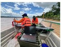
Our own crews, our own instruments — topographic, corridor and bathymetric survey.
3D terrain, assets and flood scenarios — in the browser, on demand.
We measure Lao PDR from the air, the ground and the river — and put it in your browser.
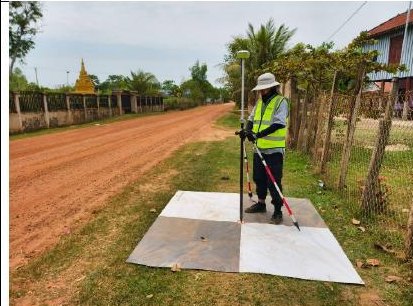
GNSS, drone LiDAR, echo sounders and levels — all in house.
See the equipment
Spatial data, 3D terrain and flood scenarios you can compare on demand.
View the platforms
Information systems, ID cards, security and smart workplace.
Explore solutions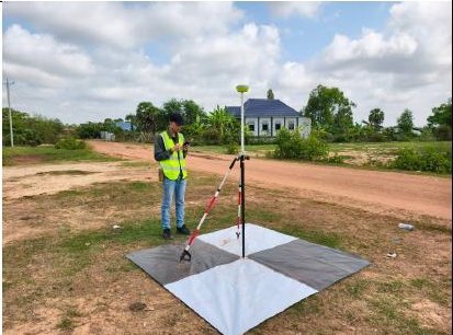
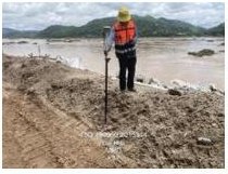
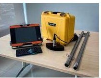
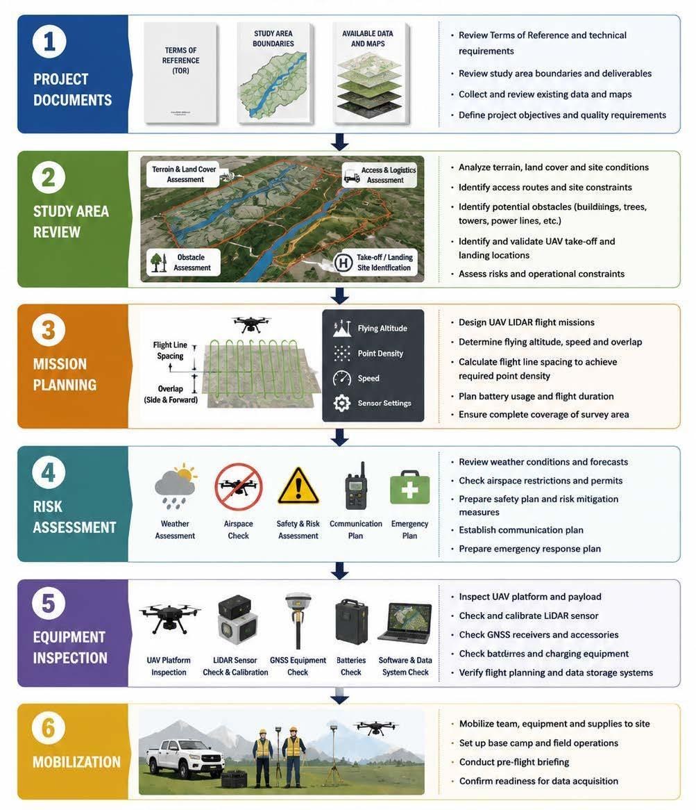
The same sequence on every site — that is what keeps accuracy comparable between them.
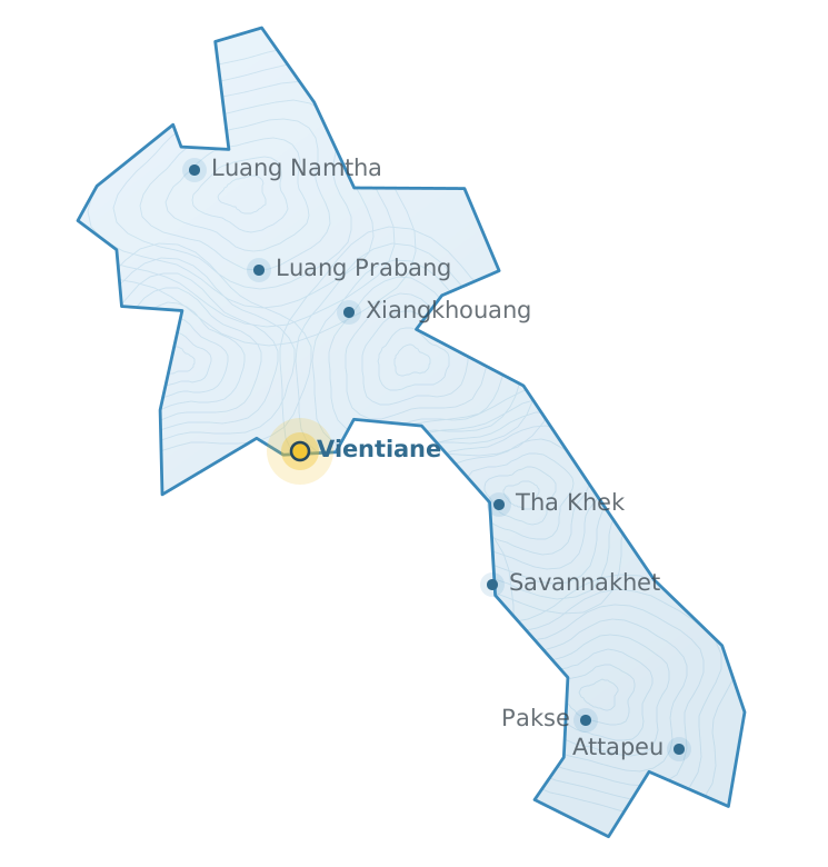
One head office, crews that mobilise to site.
The same team builds and maintains the systems that sit alongside the spatial data.
Organisation, personnel, intranet and web portals.
National ID and member cards, printed on HID FARGO.
Driving and vehicle inspection centre management.
Panda cloud anti-virus with live threat intelligence.
MAXHUB meeting rooms and LifeSmart building control.
Training, after-sales service and system maintenance.
We will scope it, build it and support it.